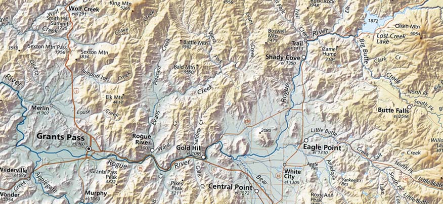
Road maps de-emphasize rivers and streams, and that's appropriate - in fact, necessary, to avoid the stream network interfering with road legibility. (Note the Rogue River circled in the upper right).
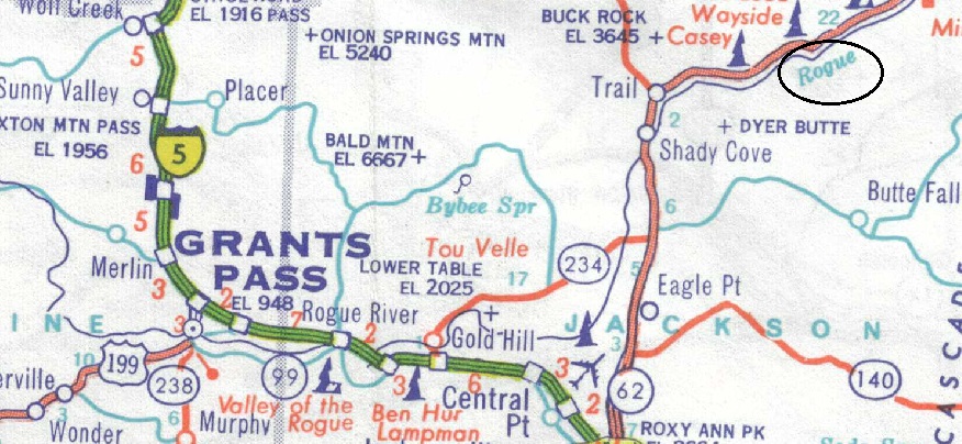
Old Gas Station Map of Oregon
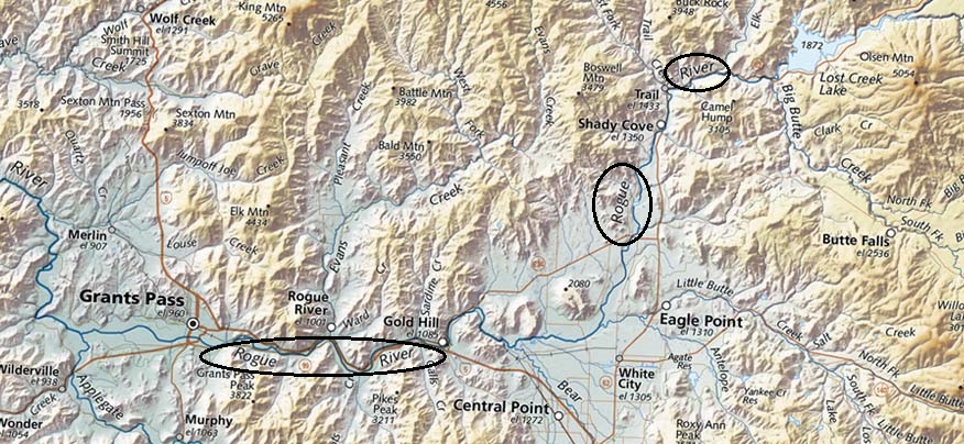
Similar section of our Oregon Map
However, Raven's maps have always emphasized landforms, and streams are the key to their clear presentation. They can be the major shapers of a landscape, and they are always significant features. But on a map, they also serve to provide a clear structure that enables the viewer to understand geographic relationships and finally the overall geography of the area shown. East of the Mississippi and south of the Ohio? - ah - the Tennessee and the Cumberland, draining the western slope of the southern Appalachians. Mid-continent cities? Minneapolis, Omaha, Kansas City, St. Louis, Memphis...it's a clear sequence down the Mississippi.
At a more local level, the relationships may be much less clear.
Our San Francisco Bay Area maps offer a good example: the Bay itself and the valleys that open onto it are understandable shapes, but the jumble of mountains beyond are difficult to make sense of. We clarify these structures by very markedly emphasizing the more important streams that drain them. Most of these are very minor streams; many, including some very long ones, have hardly any flow at all during summer, and some are buried in culverts as they flow through cities. But drainage is an inescapable fact (as we re-learn with every flood). By making the stream networks obvious, we define basins and ridges and make comprehensible what was previously vague and confusing.
Streams provide the framework for understanding.
