The mountain ranges of California are justly famous, and they are a dominating feature of the Raven elevation-tinted map of the state. However, no one map can show everything. California's Land Cover map shows the state's remarkable range of landscapes instead of elevations. This is a completely different take on the state.
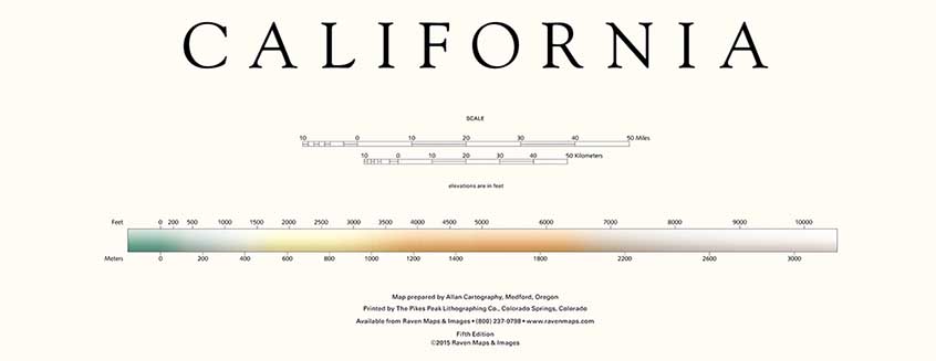
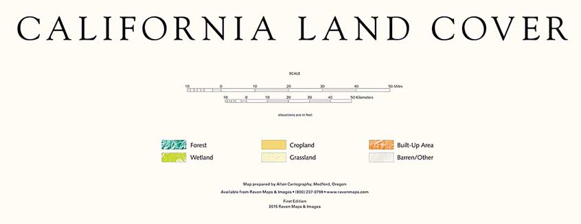
The top color bar is the Elevation Tints legend, and the bottom is the Land Cover legend.
"Land Cover" refers to what grows or what has been built on the land. In combination with landforms - mountain, valleys, canyons - it presents what you see out the window. Land Cover is sometimes confused with Land Use, but the latter describes how land is managed. Industrial timberland and Parks are entirely different land uses, though the land cover might be similar. Raven Land Cover maps use a color scheme that suggests what you see on the ground. Forests are dark blue-green, wetlands a brighter yellow-green, grasslands yellow, cultivated croplands an orange-brown. Grasslands aren't always yellow, and even though that's the color of the harvested wheat, croplands aren't orange-brown, but these colors are at least suggestive and they're easily distinguishable.
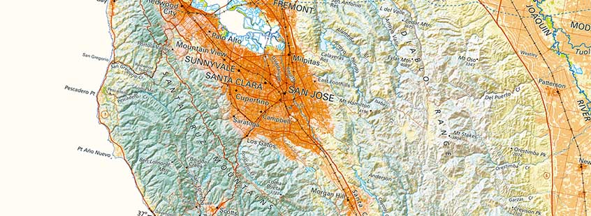
Our Land Cover maps use the latest high-resolution federal data - a large truck stop will appear as a distinct built-up area; a single center-pivot irrigation installation as an individual circle of cultivated land. The data originally classifies over 20 land cover types (for example: four types of forests). That is a distillation down from hundreds of sub-categories, but for a state wall map even 20 is far too many. Raven groups them into just 6 for California and most other Land Cover maps. We add Redwood forest and Chaparral on our much larger-scale San Francisco and Greater Bay Area maps (below).
California Land Cover map (above)
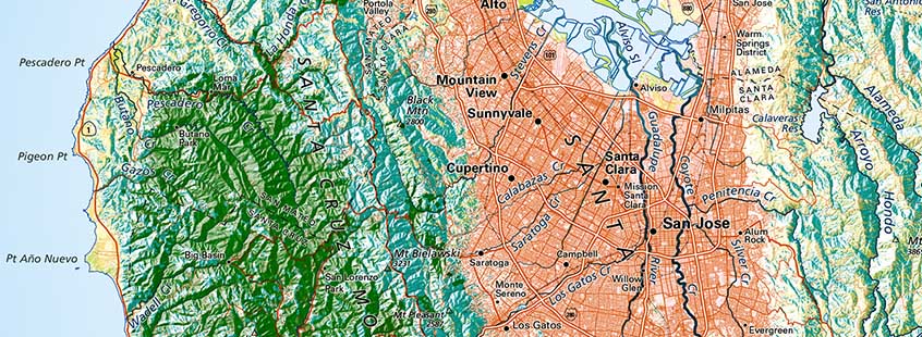
Greater Bay Area Land Cover map with redwood forests added
Our aim with these maps is to give viewers a clear picture of the state's range of landscapes, from the rain forest of the central and northern Coast, through the great farmland belt nearly filling the Central Valley, to the deserts of the Mojave and Colorado Deserts. The extreme local detail makes up for the small number of data classes, which in turn permits an easily-grasped color scheme that makes the map clear and vivid.
Those are fine qualities in a map.
