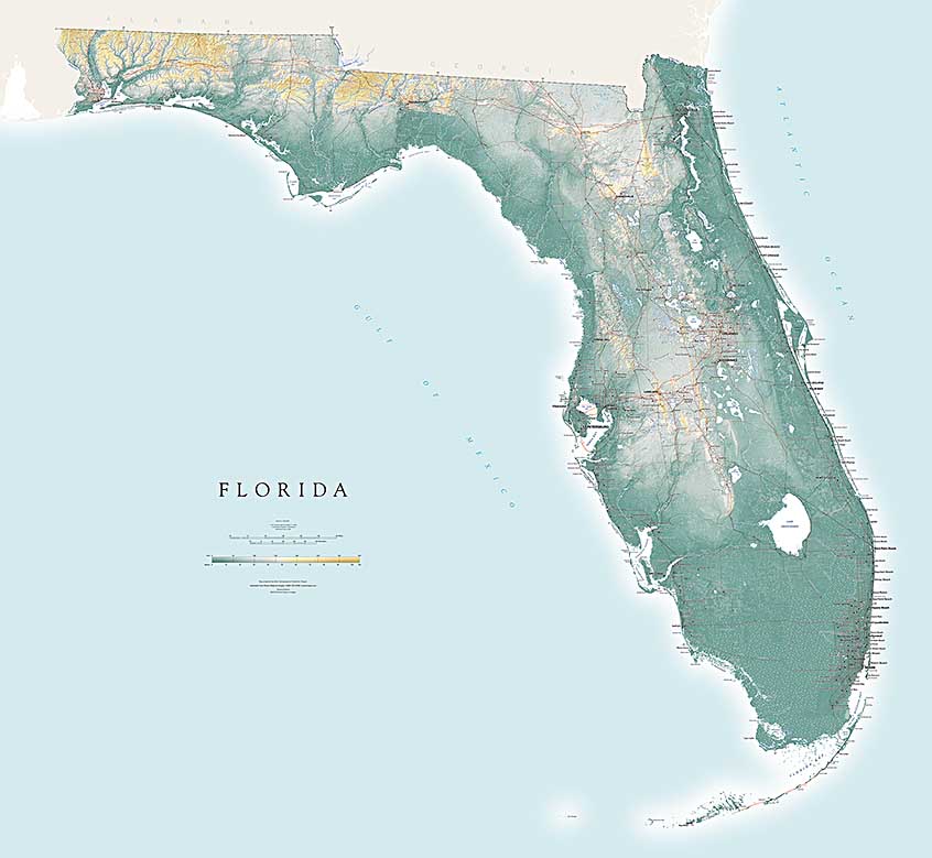
Florida is famously flat: the highest point (on the Alabama border northeast of Fort Walton Beach) is just shy of 350 feet above sea level. But very small differences in elevation make a big difference in Florida, surrounded as it is by water and subject to heavy rainfall. Florida’s limestone weathers into the distinctive sharp ridges, depressions, sinkholes and lakes of a classic “karst” landscape (see below). Florida appears flat on a U.S. or even regional map, but reveals very striking landform patterns on a map designed to show the state.
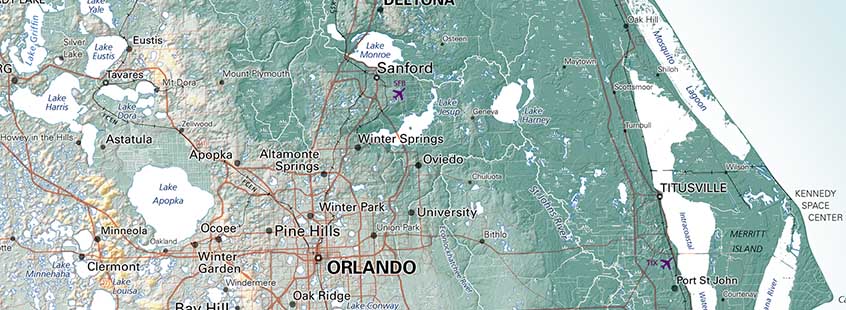
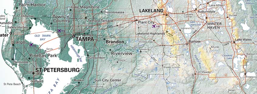
Florida is in a class by itself in other respects as well. Its population is growing very rapidly, some in very large developments which remain unincorporated, are much larger than the older towns whose names appear on existing source maps, and do not have obvious centers. The traditional cartographic town “dot” symbol doesn’t serve this new settlement pattern well, but none of the alternatives we tried were much better. Dot symbols at least anchor names to SOME point, but interpret with caution (see below).
Florida’s very graceful outline poses another issue: the state occupies a relatively small part of a square, so there’s a lot of empty space. We’ve broken our normal rule (state maps as “islands”) and shown the surrounding ocean, which we think looks much friendlier. But oceans mean shorelines, so we include adjacent portions of Georgia and Alabama in a neutral tone. Abandoning our standard “island” map presentation allows us to include a key feature that lies outside the state but is significant to Florida’s geography: Okefenokee Swamp, the source of the Suwanee River; and the Chattahoochee and Flint Rivers, which become the Apalachicola.
