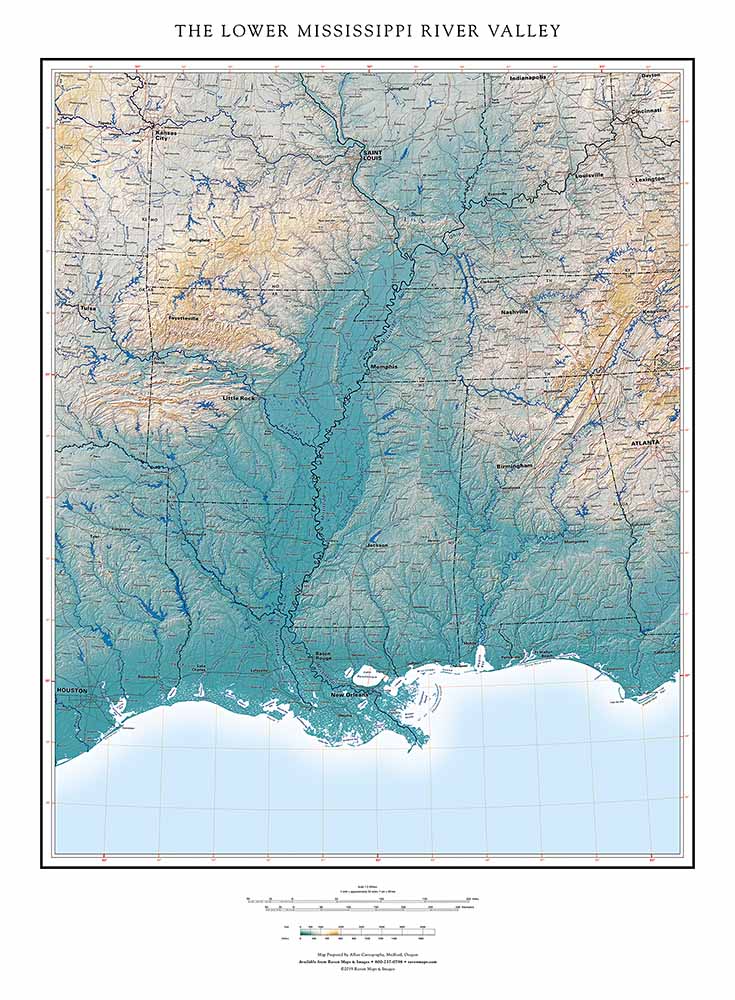
A very large portion of the 48 states can be described as being within the Mississippi Valley, in the hydrologic sense of the term. Our map title refers instead to the narrower region centering on the Mississippi River, including the great confluences of the Missouri and Ohio Rivers and extending east and west to include the neighboring mountains. The southern part of this area is shown on our Gulf Coast map as well, but with a very different elevation color ramp and focus.
A central feature of this map is the Mississippi Delta, not to be confused with the Delta of the Mississippi River. That river delta is the fan of sediments extending far beyond the general trend of the coastline, presently extending southeasterly with the main channel. Deltas are inherently unstable, since their continuing extension lengthens the stream that builds them, lowering its gradient and inviting floodwaters to find a shorter steeper route. In this case, that's the Atchafalaya.
The Atchafalaya has been the main channel in the past, and would become the main channel again, for a time, but for the Army Corps of Engineers control structure about 50 miles above Baton Rouge. The river has shifted among innumerable mouths in the past, and a great deal of engineering has to be applied to keep it in its present course. At some point in the future, the river will make the jump, and its delta will resume growing more symmetrically in the classic triangular form of the Greek letter. Human economic and social requirements influence river management, and course, but our time scale is much shorter than the river's.
The "Mississippi Delta", on the other hand, is the long sinuous lens of flat land that extends from southeastern Missouri all the way down to the Red River in Louisiana and even beyond it. Missouri, Arkansas, Mississippi, and Louisiana share the Mississippi Delta, home of the blues. The present Delta is a land of few workers and declining small towns.
Originally an arm (embayment) of the sea, the Delta has accumulated sediments from, and been endlessly planed flat by, the ever-shifting meanders of the river. The region's 19th century state lines record the main channel's course during that period. The river's present route is maintained by levees confining the river, for now, to a single main channel. The Delta is spectacularly productive farmland, and the heart of the cotton boom that drove the South's slave economy before the Civil War, and continued in modified form into the mid-20th century. Very productive and highly mechanized rice and soybean farming is more important now.
The present Delta is a land of few workers and declining small towns.
_1553113168.jpg)
