Name selection and placement is often the most time-consuming aspect of map construction.
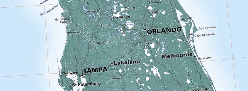
Florida with angled names
Any individual name can be placed easily in the beginning - but every succeeding name on the map reduces the space available for the next one, and by the end of the process, a single addition can be a real problem. This is especially true if the towns (or peaks, or lakes, or whatever) are located along a more or less horizontal axis - for instance, along the Gulf Coast, or along the many east-west highways crossing the Great Plains. More names can be fitted in by angling them, but that looks clunky unless the angled type is also curved, and the curves more or less have to match, and at this rate you'll never get home in time for dinner! East and West Coast cities or the settlements along the north-south odd-numbered Interstates are a lot easier to deal with.
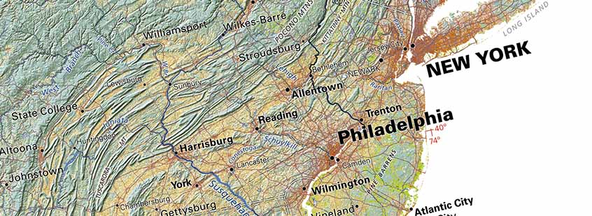
New York area on the Land Cover map of the United States
Then there is the fundamental question of how many names to show. "Well, all the most important ones" sounds obvious, but what makes a place important? The highest peak or the largest lake or most populous city in a region will certainly be named, but what about the small (but still significant) nearby features? Do we add Mt. Foraker next to Denali, or Newark and Paterson to New York? Or do we leave the most important names uncluttered by competing important but lesser ones? It's always a balancing act, bearing in mind the rule that every graphic element competes for attention with every other.
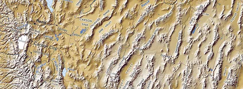
Austin, Nevada in the middle of this section of our US map
Context is critical. A small town - say Austin, Nevada on US Hwy 50- may be a more significant reference that a Chicago suburb of 50,000 people. The town as such is much less important, but it is useful when defining the region. Naming the third-or fourth- highest peak in a line of neighboring peaks is less important than making the highest one easiest to locate.
Extremely detailed geographic data is readily available now, so maps are often information-dense before a single name has been placed. That has changed cartographic practice. National Geographic maps were for decades legendary for their beautiful placement of very comprehensive type (and a very fine proprietary typeface); one had the impression that every village in the world that showed up in an NG photograph would be included on their maps.
But type density depended on a very spare geographic base, it doesn't work over the kind of very detailed topography that is becoming standard. And such type placement is very expensive.
Hang on to those old atlases; we may not see their like again.
