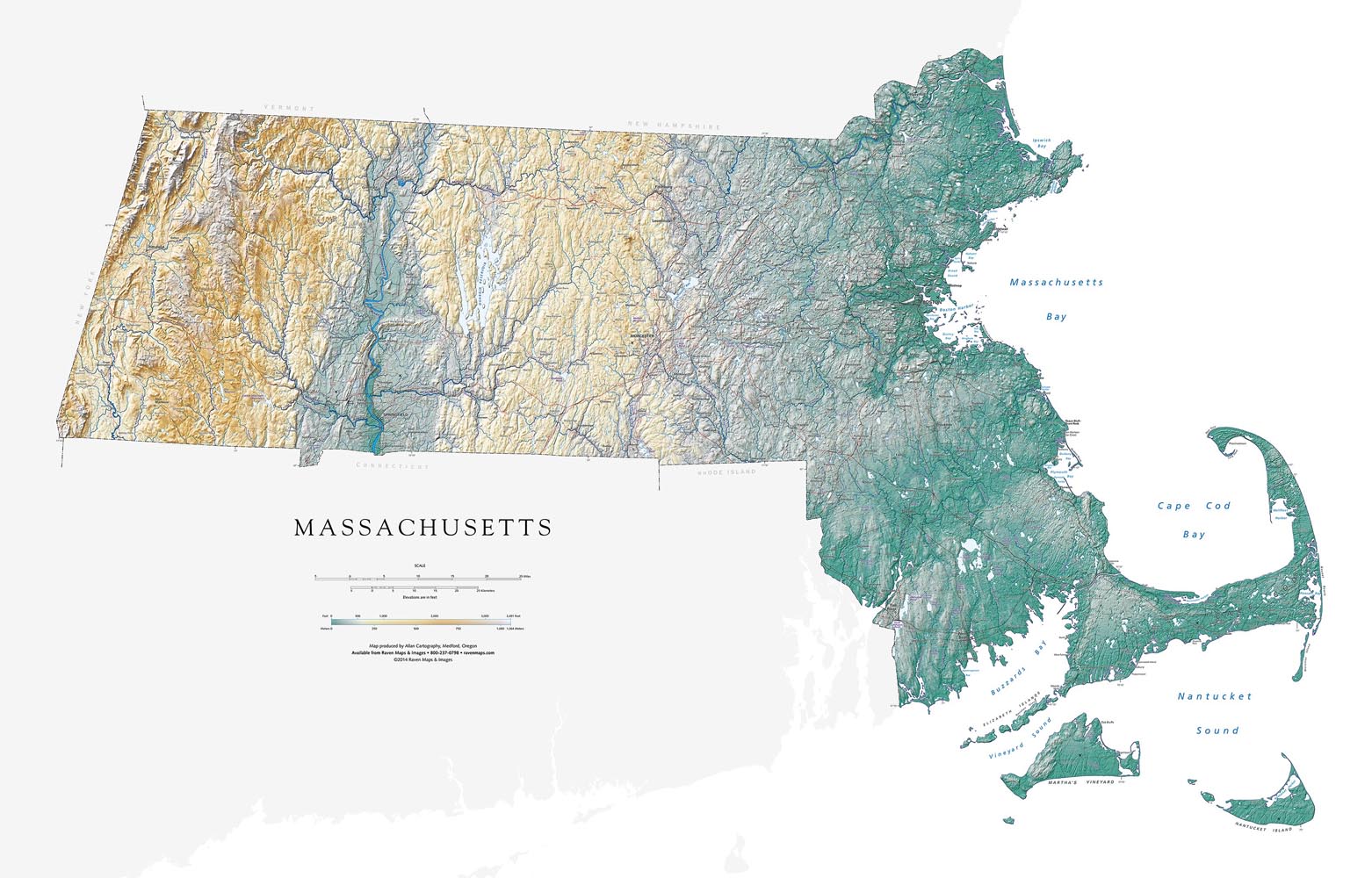
The growing availability of extremely high-resolution data sets has elevated mapping to a whole new level!
Our series of fine art maps is built from scratch to a level of accuracy and legibility that was completely out of reach a few years ago. We are also able to produce state and world maps in multiple sizes — not everyone has thirty square feet of blank wall available — and multiple versions.
The original Raven maps all featured elevation-tinted shaded relief. Their new replacements keep the same look, but with much more detail. And we are also adding additional treatments:Land Cover (forests, farmlands, grasslands, etc), Landforms and Rivers, and Night Views.
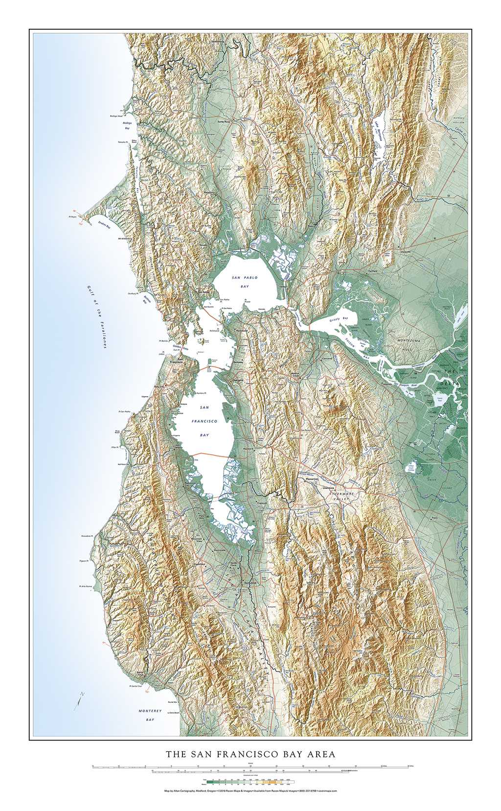
We have completed two sets of San Francisco Bay Area maps (one of which is below)
All new titles are print-on-demand archival Fine Art Prints, featuring true non-fading inks on heavy photo paper that does not require laminating.
We hope you will find all of our maps to be useful both as geographic locators and as fine art.
