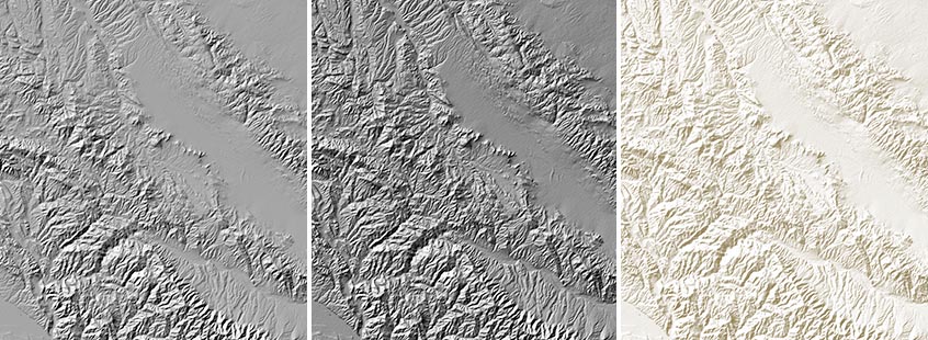
Relief shading shows slope on a map. Flat areas are given a medium tints. The shaded side of a slope is darkened in proportion to its steepness, while the illuminated side of the slope is shown by progressively lightening the tints.
The effect can be made more subtle or more pronounced by varying the contrast level. There is no "cast" shadow, so this technique doesn't really work for vertical surfaces. That's a problem if you're mapping Yosemite, but it's fine for most places.
Examples (from left to right) from the California data base: shading only, shading plus highlighting, and contrast reduced.
