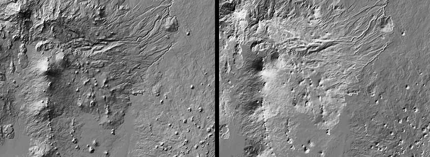
The conventional illumination direction for relief shading on maps is from the upper left, from the northwest, in a conventionally-oriented "north-up" map. That's odd, since actual landscapes are illuminated from the south during most of the day in the northern hemisphere. But it turns out that relief shading based on a light source from the south is often perceived as inverted: peaks look like lunar craters, ridges appear to be canyons, and vice versa. So, cartographers generally stick to the upper-left (NW) light source, and assume that the map readers are looking at the image right-side-up (look at the image upside down usually produces the same impression of inverted landforms). The effect can often be dispelled by blinking and concentrating on correcting the inverted image. The brain will usually oblige. It's a kind of personal cartographic parlor trick.(3/14/18)

