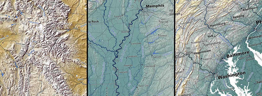
The geographer's catch-all answer to practically any question is, "It depends upon the scale" — and therefore, the extent of the area being analyzed. Is this a city block? A city? A county? A state?. This principle applies forcefully to the selection of elevation ranges in our maps. The elevation color scheme that shows the Rocky Mountain region to advantage isn't much good for the Appalachians, and vise versa.
The Raven US (except Alaska & Hawaii) elevation maps represent the best compromise we were able to come up with for the US map, and we are developing a set of regional wall maps to do even better at the regional scale.
Examples: Inter-mountain; Mississippi Valley; Appalachian/Eastern seaboard. (2/14/18)
